The last blog from our New Zealand trip. A wonderful trip, shared with Margaret, my sister. A great travelling companion. There was much reminiscing.
We also spent time with our family, which was also wonderful. It is so lovely that we can see them every year now.
When we arrived in Christchurch, we picked Margaret up at the airport, and then spent time with our aunt, Muriel.
The next morning we set off south, via the inland route to Lake Wanaka. This took us over Burkes Pass, and past Lakes Tekapo and Pukaki. There were hundreds of tourists on the same road, in cars, motorhomes, campervans and cars. Very busy. Luckily they all drove on the carrect side of the road.
It was too overcast to get a view of Mt Cook.
After a short stop in Omarama, for an ice cream, we continued on our way over the Lindis Pass. The yellow tussocks on the hills were especially beautiful that day.
We stayed with Brian and Susanne, in their Bed and Breakfast, Collinson's Cottage, which is set in a most magnificent garden. The view of Lake Wanaka from our bedroom window.
After we left Lake Wanaka, we drove past Cardrona, and onto the Crown Range, a very high and icy area in winter, but sunny and warm in the summer. The tussocky ranges were very beautiful.
At the end of the Crown Range, there is a steep descent into the valley below.
Looking towards Lake Wakitipu.
As we drove further down the steep, road we could see the Shotover River, and Queenstown on the edge of Lake Wakitipu. The Remarkables were on the left.
We drove down into the valley, bypassing Arrowtown, Frankton and Queenstown. All too touristy for our liking.
The one way bridge over the Shotover River. At long last they are building a new two lane bridge on the left of this bridge.
The Remarkables. A very high range of mountains that change colour, depending on the time of day and the weather. There is a ski field high up in these mountains.
The road around Lake Wakatipu has some breathtaking views of the lake but I think we were too busy talking to take photographs. We stopped for lunch in Kingston, at the southern end of the lake.
And then it was a relatively short drive to Invercargill, through very familiar places, Lumsden and Winton. We drove past our family house in Ryal Bush, looking very neglected and dilapitated. Quite sad.
Finally we arrived at Shona's large and comfortable house in Wallacetown, where we experienced the only two days of cold and wet weather.
But I managed to take some photos in sunny weather, thank goodness. The beautiful artificial tree, which Shona installed in memory of Richard. It looks magnificent at night. While at Shona's we attended her granddaughter's 21st birthday party.
We visited Invercargill quite a few times, and took photographs of the old buildings there. We also visited Eric and Ngaire at their lovely home which overlooks a beautiful garden.
The very empty main street of Invercargill.
We stayed at David and Catherine's house in Invercargill and enjoyed lovely warm sunny weather. It was also great catching up with all their family.
We went for a walk in the pleasant park by their house.
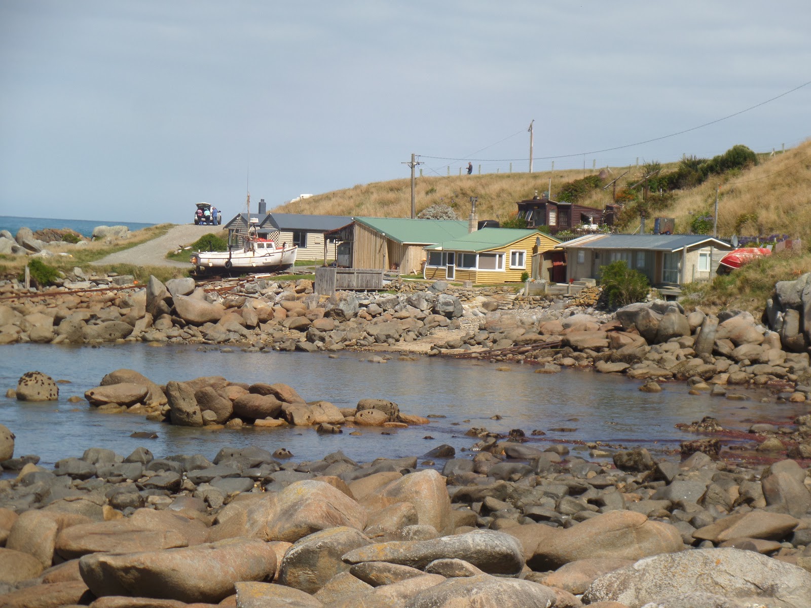
We also drove west from Invercargill, on the Southern Tourist Trail, to the seaside town of Riverton and then along the coast to Colac Bay and Orepuki. A magnificent coastline, with rocky coves and high cliffs.
After Invercargill, we drove north to Central Otago, via Gore, Tapanui, Roxburgh, and Alexandra to Clyde. The scenery was ever changing, from green rolling pastures, to high brown tussocky hills, orchards, and finally high mountains.
We stayed at David and Catherine's holiday home in Clyde, which is a very pleasant town beside the Clyde Dam, on the Clutha River.
We had lunch in Ophir, about 2 kilometres from the Rail Trail.
After Clyde we continued north, along the road beside the Clutha River, which is now more like a lake due to it being dammed about forty years ago.
Cromwell on the edge of the new lake, Lake Dunstan. Part of the old town is under the water on the left of the photograph.
We continued north, over the Lindis Pass, through Omarama, until we came to Lake Pukaki where we were greeted by the most magnificent view of Mount Cook.
We stopped in Fairlie for a pie at a pie shop that was obviously very popular, from the number of people eating there. The pies were very good.
We turned off the road at Geraldine, and drove along the inland route, bypassing Christchurch.
The rolling brown hills of the inland road.
The Rakaia River threading its way outwards from the ravine.
The Rakaia River at its narrowest point.
We stayed in a very smart and roomy motel in Amberley, north of Christchurch. Much of the new housing is north, west and south of Christchurch now.
The next day we set forth to travel over the Lewis Pass to Nelson. This is the inland road, which goes past Hanmer Springs, Springs Junction and Murchison. All very scenic, surrounded by bush covered mountains and fast flowing rivers.
Unfortunately it is now a very slow journey, due to the high number of vehicles on the road, and numerous stops for road works. There are also trucks towing huge trailers too. It requires great care and attention when driving on this road.
At the moment the coastal road is still being cleared after the major earthquake last November. They expect the road to be open again by Christmas which is a huge undertaking considering the size of the slips that need clearing away, as well as mending the buckled roads. Therefore all traffic from Blenheim and Nelson must travel via the Lewis Pass.
After a restful few days in Nelson, we left Margaret at her home, and returned to Christchurch via the Lewis Pass. We enjoyed the trip down very much as we had never travelled south on this road before and the scenery looked quite different from another perspective. However we did miss not having Margaret with us.
Such a memorable three weeks which passed by too quickly.


No comments:
Post a Comment