Are we in New Zealand? These were our words as we drove along the first part of the ringroad around the Kerry peninsula. The same scenery, but more houses. It was a trifle unsettling at first, until we put New Zealand out of our minds completely. We were here to enjoy Ireland.
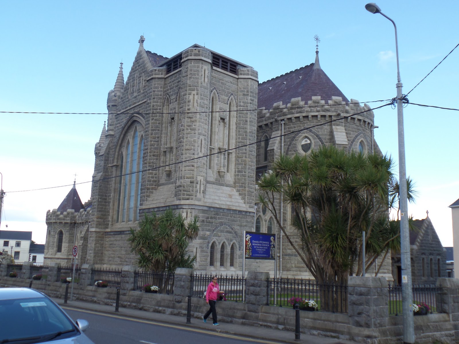
We left the campsite before 8.30 am in order to be in front of the hundred or so coaches, that drive tourists around the peninsula each day. We were so early that nothing was open, and we were caught in the early morning work traffic. Some of the men here drive very fast on the narrow roads.
A beautiful valley,


Just after Cahersiveen we turned off the N70 and headed south towards the pretty little village of Portmagee. The ring road around the bottom of the peninsula is called Skellig Ring, a ring within a ring, and it is certainly quieter there, as the road is very narrow and coaches do not venture down that far.
There was a most delightful cafe in Portmagee, which served great coffee and homemade cake, which we could not resist of course. We also bought an apple and toffee cake to take with us, and a jar of locally made marmalade.
We sat on the seats in a sunny window which overlooked the colourful houses. Bliss.

After a short walk on the street we drove over the bridge to Valentia Island, and then past well kept fields and houses until we reached the end where there was a vehicular ferry, which we did not take, otherwise we would be back at Cahersiveen again.
The view of Portmagee from Valentia Island.


The first trans Atlantic cable was laid from Knightstown, on Valencia Island, to the United States in 1858.
A drive around the west of the island took us through a very shady lane.

The entrance to the mine, complete with a Grotto near the top. It is possible to see the statue of Our Lady near the top of the photograph.


There is an old monastic Site on Skellig Michael, but at the moment the island is most known for the final scene in the latest Star Wars movie, 'The Force Awakens', when Kerry Fisher walks up the stairs. It is possible to go in a small boat to visit these islands, but the trip is long and the seas are choppy, so not for us.
The car managed the very steep climb up to the top of the high cliff, where the views were magnificant but the wind extremely strong.
The photograph of Valentia Island and Portmagee, far below us.


We eventually joined the N70 and the Ring of Kerry, and the seemingly neverending line of coaches. They had caught up with us, due to our diversion to Portmagee.
Our lunch spot by the beach at Waterville. We turned our backs on the coaches, which were parked behind us. It was a very busy town,


Some of the coaches, waiting for their passengers, who were hopefully spending money in the town.


The view down the valley towards Killarney.

And at the top of this pass a river begins to develop.


We went out to dinner tonight to celebrate a fantastic day, touring the Ring of Kerry.
No comments:
Post a Comment